

【Drawing Bhutan’s Future from the Sky】Everyday Life and Disaster Risk in Bhutan Part One
On our way from Japan to Bhutan, we encountered news reports of major flooding in Nepal associated with a glacier collapse. Bhutan, our destination, is also part of the Himalayan region. Disaster preparedness was an important theme of our field activities during this visit.
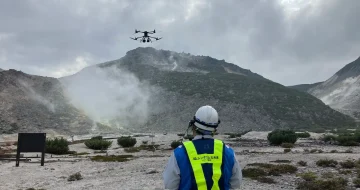
JUIDA participates as a member of the joint venture (JV) in JICA’s technical cooperation project in Bhutan, the “Project for Development of Drone Usage Environment in Bhutan.” The project aims to establish the foundations for drone use, including strategies, regulatory and institutional frameworks, human resources, and arrangements that support safe operations. It also seeks to help Japanese drones expand into overseas markets through activities in Bhutan, where mountainous terrain creates strong demand for drones. This article reports on site visits and discussions held in August and September 2026 to prepare for demonstration trials in disaster response as part of this broader effort.
Disaster Reports and the Roads and Communities We Visited
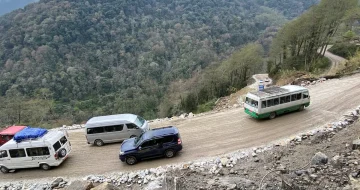
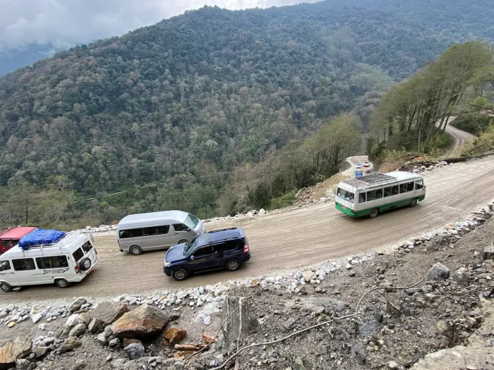
As we traveled by car from the capital, Thimphu, to other parts of the country, the roads wound repeatedly along the mountainsides, with settlements finally coming into view across deep valleys. If a road becomes impassable because of a landslide or another disruption, how can we assess conditions beyond it and deliver essential supplies? The locations of roads and settlements are important considerations in planning disaster response.
Mountain weather changes quickly during the rainy season, and we experienced heavy rain during our stay. Disasters can have a major impact on the roads, rivers, and communities that form the landscape of everyday life. During our site visits, we examined the terrain and surrounding conditions as we considered potential uses for drones.
Thinking About Preparedness Along the River
During this visit, we conducted site visits and discussions in Punakha, Phuentsholing, and Gelephu to prepare for the demonstration trials. The terrain and townscapes of the mountain valleys differ markedly from those of the southern areas near the Indian border. Understanding the conditions in each location is a first step toward identifying practical uses for drones.
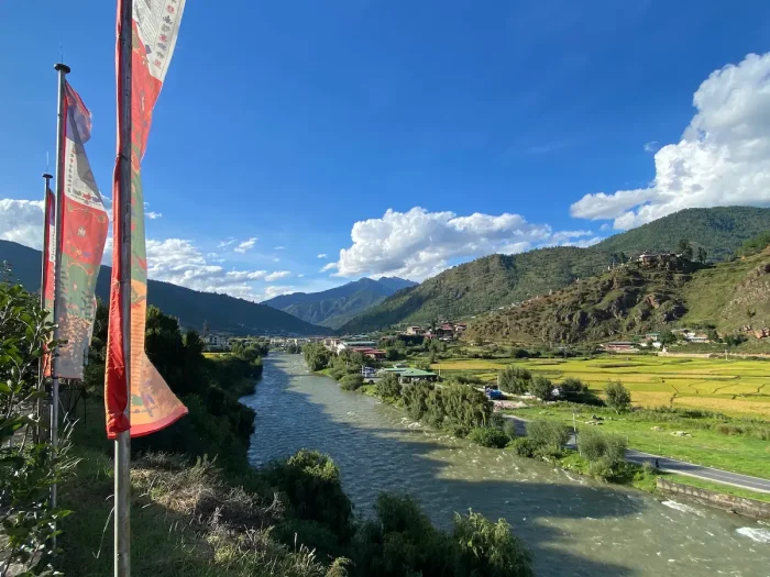
In Punakha, we were struck by the riverside communities and the historic Punakha Dzong. Yet this area has also experienced damage from a glacial lake outburst flood (GLOF). JICA’s publicly available information describes the severe damage caused in Punakha by the 1994 outburst of Luggye Glacial Lake.
The apparently tranquil river and the need to prepare for disasters originating upstream are part of the same landscape. Understanding this history brings the challenges of assessing conditions, communicating information, and connecting people with the support they need into clearer focus.
In Phuentsholing and Gelephu, we also held discussions with local stakeholders while checking the locations and elevations of rivers, roads, and settlements. We considered sites and operational approaches for demonstration trials involving the assessment of conditions during a disaster and the delivery of supplies.
The Everyday Life We Seek to Protect
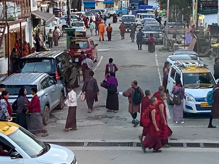
Our visit offered glimpses of everyday life as well as places where disaster preparedness is needed. On weekends, young people gather in town, and people walk along the streets with smartphones in hand. Meals are shared, and greetings exchanged at the places we visit. Between project activities, we had opportunities to experience these ordinary moments.
Thinking about disaster preparedness also means considering how to respond when everyday life is disrupted. What happens if a familiar road becomes impassable, or if conditions on the other side of a river are unknown? There is value in expanding the options available before an emergency occurs.
The role drones can play needs to be examined in these specific situations. By bringing together the experience of people who know the area and expertise from Japan, we can consider operations that would be useful in a disaster. During this visit, we held discussions and conducted site visits for that purpose.
In Part Two, we explain the role of demonstration trials within the project’s broader effort to develop an enabling environment for drone use, and recount our experience of heavy rain and flooding in Bangkok on the journey home. We also consider cooperation across borders through disaster preparedness.
- Work Name: The Project for Development of Drone Usage Environment (Bhutan)
- Performance Period: October 10, 2025 – February 15, 2028
- Implementation Structure: JV by Aero Toyota Corporation (Representative Member), Japan UAS Industrial Development Association (JUIDA), and Earth System Science Co., Ltd.
■For inquiries:
JUIDA International Team:ohzora@uas-japan.org